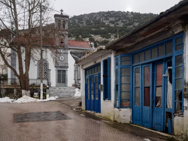
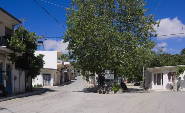
Agios Charalambos is a village in the Lasithi regional unit on the island of Crete, Greece. It is located on the Lasithi Plateau at an altitude of 860 meters, on the western slopes of Mount Dikti. The village is part of the Kato Metochi community within the Municipality of Oropedio Lasithiou.
Until 1957, the village was known as Gerontomouri. It was renamed Agios Charalambos after the village church.
History
-
Origin of the Name “Gerontomouri”: The original name “Gerontomouri” is thought to be related to the landform (“mouri” in the Cretan dialect) of the area, which is characterized by a rise or elevation. It is believed that the village elders (“gerontes”) used to gather in this location to discuss important matters.
-
Venetian and Ottoman Periods:
- 1583: The census of Castrophylacas mentions Agios Charalambos (as Gerontomouri) as “Mettocchio Geromuri” with 18 inhabitants.
- 1630: The census by Francesco Basilicata lists it as “Gero to Muri.”
- 1671: The Ottoman census records 37 families in the village, referring to it as “Yerotomuri.”
- 1834: The Egyptian census lists it as “Gaidhuromandra” (Kato Metochi) and “Gerontomouri” with 30 Christian families.
-
20th Century:
- 1957: The village was renamed Agios Charalambos.
Landmarks
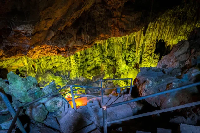
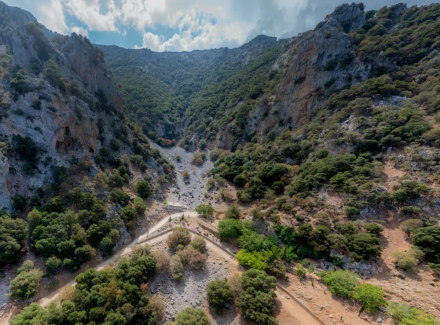
- Burial Cave: A burial cave from the Early Minoan and Middle Minoan periods, where hundreds of skulls and bones were found, is located north of the village.
- Church of Agios Charalambos: Located in the northern part of the village.
- Byzantine Church Ruins: Remains of an old Byzantine church dedicated to Saints Sergius and Bacchus are found opposite the present-day cemetery.
- Vitsilokoumo: A scenic location west of the village.
Village Key Points
- Historical References:
- 1583 census of Castrophylacas as “Mettocchio Geromuri” with 18 inhabitants.
- 1630 census as “Gero to Muri.”
- 1671 Ottoman census as “Yerotomuri” with 37 families.
- 1834 Egyptian census as “Gerontomouri” with 30 Christian families.
- Location: Lasithi Plateau, Lasithi regional unit, Crete, Greece. 54 km west of Agios Nikolaos.
- Altitude: 860 meters
- Historical Significance: Early Minoan and Middle Minoan burial cave.
- Population:
Year |
Population |
|---|---|
1991 |
82 |
2001 |
65 |
2011 |
36 |
2021 |
34 |