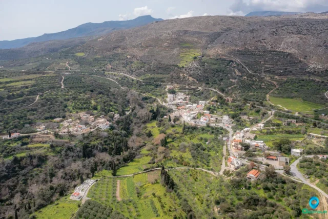
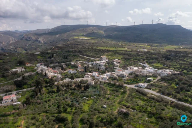
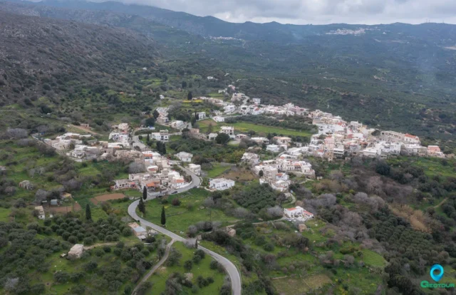
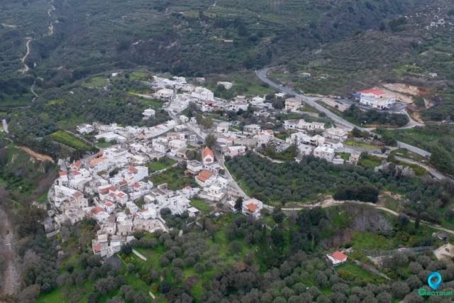
Kato Krya is part of the Krya community in the municipality of Sitia, situated in the eastern region of Crete. It lies at an elevation of 550 meters and is roughly 18 kilometers away from Sitia. The village, along with Epano Krya, is thought to have gotten its name from the cool springs in the vicinity or the harsh winters it experiences.
Historical Context
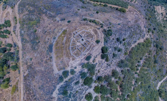
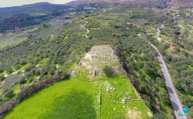
Both Kato Krya and Epano Krya have a history that extends back to at least the Venetian period. In the 1583 Venetian census, the area, referred to as “Cria,” had 176 inhabitants. Near the village, on Agios Georgios hill, you can find remnants of late-Roman water cisterns. The hill’s summit also features the ruins of a Venetian fortress, known as Monte Forte or Apano Kastelli, constructed in the 13th or 14th century to safeguard Venetian territories.
Archaeological excavations near Monte Forte at the Tsachali site in 1971 revealed a Subminoan and Protogeometric cemetery. A built tomb with its burial pithos was carefully moved from the site and is currently displayed at the Archaeological Museum of Agios Nikolaos.
Within Kato Krya, some walls of a former mosque are still preserved. Close by, there was once a settlement called Vizas, recorded in the 1583 census with 107 inhabitants, but it now lies in ruins.
Current Status
Today, Kato Krya is a small village with a decreasing population. The 2021 census counted only 37 permanent residents. The village’s remote location and limited economic opportunities have contributed to this decline, as younger people often move to larger towns and cities in search of better prospects.
Village Key Points
- Historical References: Venetian census of 1583, archaeological excavations at Tsachali
- Location: Eastern Crete, 18 kilometers from Sitia
- Dimensions: Small village
- Historical Significance: Venetian fortress, Subminoan and Protogeometric cemetery, remnants of a mosque
- Population data over the years: 176 inhabitants in 1583, 37 in 2021
- Current Status: Small, quiet mountain village with a declining population