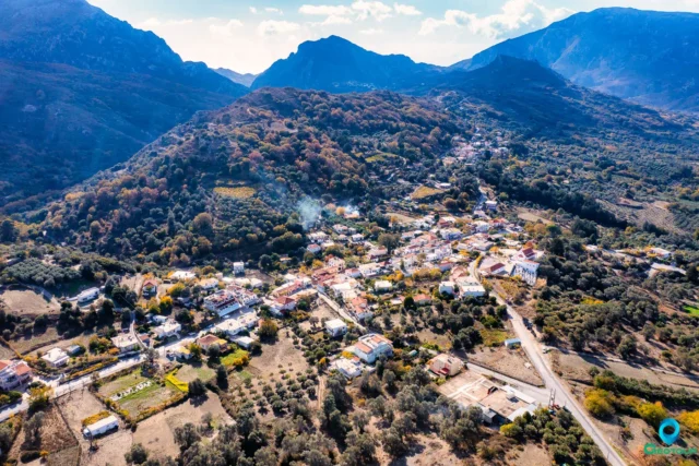
Agios Vassilios (Saint Basil) is a village and the seat of the municipality of Agios Vassilios in the Rethymno regional unit, Crete, Greece.
Geography and Location
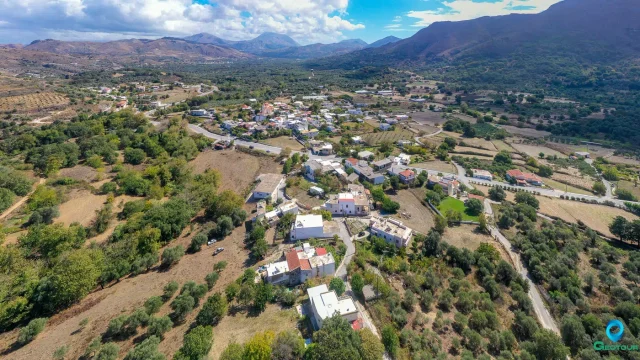
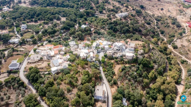
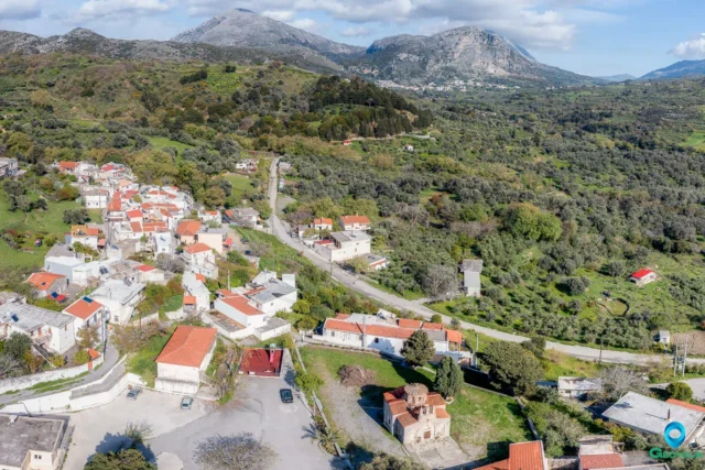
The village is situated at an altitude of 310 meters, approximately 23 km south of Rethymno town, the capital of the prefecture. The area is characterized by rolling hills, olive groves, vineyards, and small gardens. The village is located near the Kakopeonatos gorge.
History
The village’s name comes from the church of Agios Vassilios located in the settlement.
- Venetian Era: Agios Vasilios has been documented since the Venetian era. A Venetian census in 1583 recorded 136 inhabitants. During the Ottoman rule, the village was known as “Nefς (New) Agios Vassilios”.
- Ottoman Era: In the 1650s, it served as the capital of the homonymous nahiye (province) and had 19 houses. It was also a has (estate) of the Beylerbey of Crete. By 1670, nine out of the 23 landowners were Muslim, and the village was under the ownership of the Sanjakbey of Rethymno. An Ottoman census in 1881 reported 84 inhabitants, including nine Muslims.
- Early 20th Century: In 1894, according to Greek army officer Nikostratos Kalomenopoulos, there were 20 Greek families living in the village. The official census of the Cretan State in 1900 recorded 116 inhabitants.
- Modern Era: From 1913 to 1997, Agios Vassilios was a community within the municipality of Agios Vassilios. Between 1997 and 2011, it became part of the Kapodistrian municipality of Finikas. Since 2011, under the Kallikratis Plan, it has been included within the municipality of Agios Vassilios.
Landmarks and Culture
- Church of Agios Vasilios: The village’s main church, a two-aisled basilica, is dedicated to Agios Vassilios. The original church was destroyed, possibly by a fire or an earthquake. The current church was built before 1900 on the ruins of the old one. It is connected to the chapel of Agia Paraskevi through a large arched opening.
- Other Churches: The village also has several other small churches and chapels, including Panagia (Annunciation), Agios Ioannis (Beheading), Agios Ioannis Theologos, Agios Georgios Methystis, and Agios Antonios.
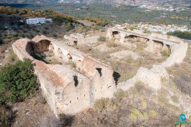
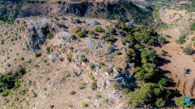
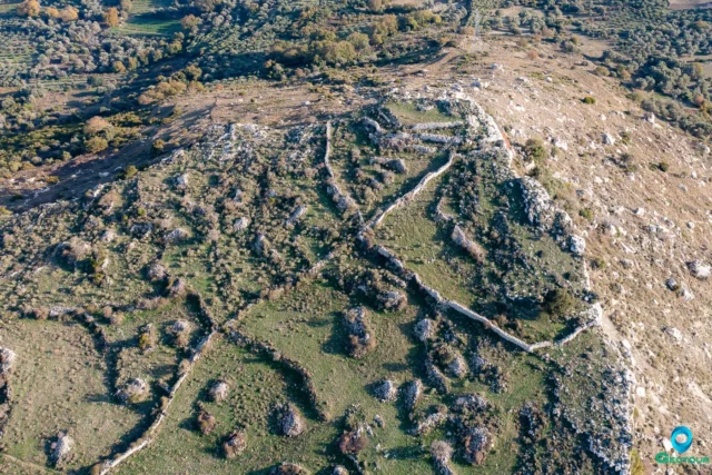
- Kato Syvritos: There is evidence suggesting the existence of a Byzantine fort named Kato Syvritos in the area, although its exact location remains unidentified.
- Synnisos: The area of Synnisos, near Agios Vasilios, is named after its distinctive land formation with two rivers creating an islet. The islet once housed the abandoned church of Agios Georgios Methystis, renovated in 1980.
- Cave of Pagona: This cave, located near the entrance of the church of Agios Vasilios, has been explored up to 65 meters deep. It is believed that villagers took refuge in this cave during times of conflict.
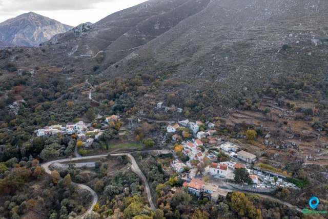
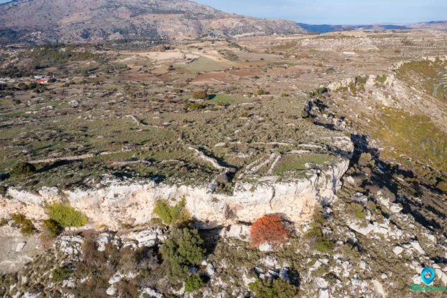
- Kakopeonatos Gorge: This gorge starts near the village and offers opportunities for hiking and exploring the natural landscape.
Economy
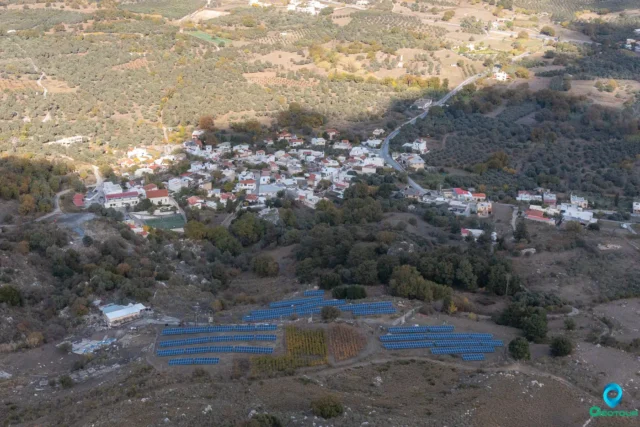
The village’s economy relies on agriculture and livestock farming, producing olive oil, wine, and dairy products. In recent years, there have been efforts to develop rural tourism, with the creation of small guesthouses and accommodations.
Settlement: Key Points
- Historical References: Venetian censuses, Ottoman tax records, Greek military reports
- Location: 23 km south of Rethymno town, at an altitude of 310 meters.
- Historical Significance: Served as a regional administrative center during the Ottoman period.
- Population Data:
Year |
Population |
Notes |
|---|---|---|
1583 |
136 |
|
1881 |
84 |
75 Christians, 9 Muslims |
1900 |
116 |
|
1928 |
115 |
|
1940 |
128 |
|
1951 |
155 |
|
1961 |
133 |
|
1971 |
107 |
|
1981 |
127 |
|
1991 |
132 |
|
2001 |
130 |
|
2011 |
130 |
|
2021 |
200 |
- Current Status: Small village with an agricultural economy and developing rural tourism.