


438
listings found
Categories
Active filters:

Amigdalos, Archanes – Asterousia
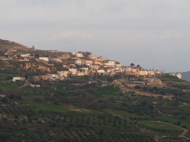
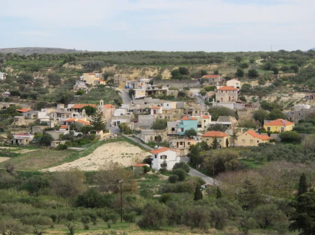
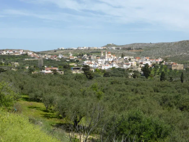
Amigdalos (Αμύγδαλος) is a small mountainous village in the Municipality of Archanes-Asterousia in the Heraklion Regional Unit, Crete, Greece. It is located at an altitude of 595 meters, approximately 50 km south of Heraklion and 37 km south of Epano Archanes. The village was first officially recognized as a settlement in 1925. The name "Amigdalos" means "almond tree" in Greek, likely named after the abundance of wild almond trees in the surrounding region. Amigdalos has experienced a steady population decline throughout the 20th and 21st centuries.
Panorama, Minoas – Pediada
SEO from existing text
Custom Gem
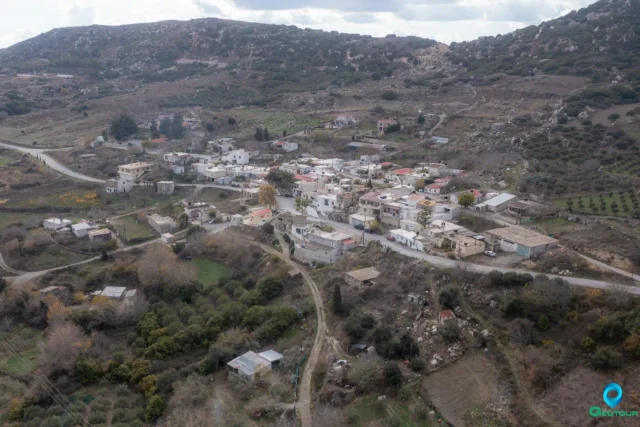
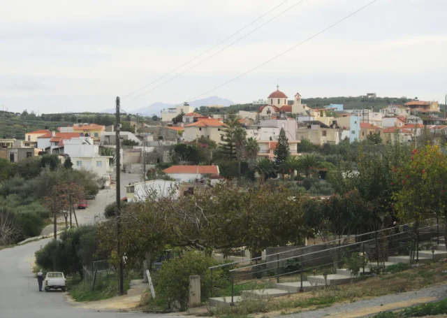
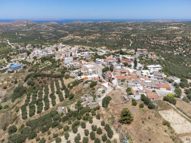
Panorama, formerly Gournia, sits at the foot of Gurniani Korfi hill in Crete, 29.5 kilometers from Heraklion, and offers magnificent views. Records suggest it may have been a Venetian fief, evidenced by a coat of arms in the church of Agios Georgios. During the Ottoman period, it was mainly a Muslim village. After the Asia Minor Disaster, Greek refugees settled there, embracing local customs and focusing on agriculture, especially viticulture. The village has churches like Agios Georgios, Agios Fanourios, and Agia Marina. The name "Gournia" likely came from the small basins at the village spring. Historical accounts mention a Byzantine church, possibly Agios Georgios Styronas. The village relied on agriculture, producing grapes, raisins, olive oil, and cereals. Viticulture remains important to the local economy. "Panorama" was adopted in 1951 due to the village's stunning views. Local legends speak of caves with hidden treasures.
Steironas, Minoas – Pediada
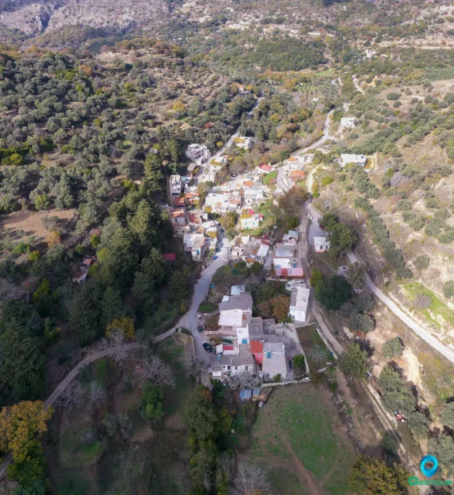
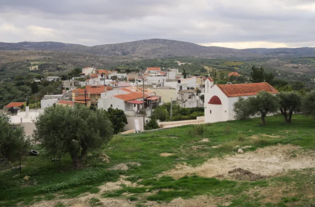
Steironas, located on a hill, 10 km west of Arkalochori, Crete, has a history from the Venetian period, Ottoman rule, and Greek-Turkish population exchange. It's known for the Myragapi Traditional Folklore Rakokazano, showcasing traditional production of wine and tsikoudia, and the late Byzantine church of Panagia with frescoes and an icon of the Virgin Mary.
Kato Akria, Gortyna
Kato Akria is a small village in the Ano Akria community, located near Ano Akria and Atsipades. It is the smallest settlement in the municipal district, with a population of […]
Goulediana, Rethymno
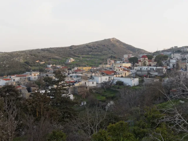
Goulediana, a small mountain village nestled in the Rethymno regional unit of Crete, Greece, presents a captivating blend of natural beauty and historical intrigue. Perched at an altitude of 540 meters in a small valley, this quaint village is located 18 kilometers from the city of Rethymno.
Though absent from Venetian censuses, Goulediana is believed to have existed as a metochi, a dependency of a monastery. The village's history stretches back to the Archaic period, as evidenced by the Onithi archaeological site southeast of the village. This site features remnants of a fortified acropolis, houses, and a monumental fountain dating to the 7th-6th century BC. Further historical significance is found in the Early Christian basilica at Kera Onithi, dating to the 5th century AD. Goulediana also boasts several churches of note, including the 1787 Agia Kyriaki with its sanctuary housed within a cave, Agia Varvara, and the Genethlio tis Theotokou. The wider Goulediana area encompasses churches such as the Panagia Kera, Zoodochos Pigi, Koimisis tis Theotokou, Agios Antonios (cave), and Metamorphosis tou Sotira. Despite its rich historical tapestry, Goulediana has experienced a declining population in recent years.
Stamnoi, Chersonissos
With a history dating back to antiquity with notable features the Church of the Savior Christ and "The Tower" a Venetian-era, two-story building.
Kato Vatheia, Chersonissos
A village in the Vatheianos River valley, this settlement dates back to 1271 and features the Church of Agia Aikaterini.
Epano Vatheia, Chersonissos
Epano Vatheia is a settlement located in the Heraklion regional unit on the island of Crete, Greece. It belongs to the Municipality of Chersonissos
Galipe, Chersonissos
Galipe, a historic village in Heraklion, Crete, sits at 280 meters above sea level. First documented in 1299, Galipe's history reflects Venetian and Ottoman influences. The 16th-century Church of the Assumption of the Virgin Mary, featuring a Venetian tomb monument, and the 15th-century Old Church of Agios Nikolaos are key landmarks. A central stone fountain adds to the village's charm. Galipe's economy centers on agriculture, particularly grapes and olives. The village's population has fluctuated over time, reflecting its dynamic history.
Sata, Amari
Sata is a settlement located in the Rethymno regional unit on the island of Crete, Greece. It belongs to the Municipality of Amari
Mardati, Agios Nikolaos
Mardati is a settlement located in the Lasithi regional unit on the island of Crete, Greece. It belongs to the Municipality of Agios Nikolaos
Voulismeni, Agios Nikolaos
Voulismeni is a settlement located in the Lasithi regional unit on the island of Crete, Greece. It belongs to the Municipality of Agios Nikolaos
Vrachasi, Agios Nikolaos
Vrachasi is a settlement located in the Lasithi regional unit on the island of Crete, Greece. It belongs to the Municipality of Agios Nikolaos
Kato Metochi, Lasithi plateau
Kato Metochion is a settlement located in the Lasithi regional unit on the island of Crete, Greece. It belongs to the Municipality of Lasithi plateau
Pinakiano, Lasithi plateau
Pinakiano is a settlement located in the Lasithi regional unit on the island of Crete, Greece. It belongs to the Municipality of Lasithi plateau
Lagou, Lasithi plateau
Lagou is a settlement located in the Lasithi regional unit on the island of Crete, Greece. It belongs to the Municipality of Lasithi plateau
Lyttos (Xidas), Minoa – Pediada
Lyttos (until 1987 known as Xidas) is a village in the Municipality of Minoa Pediada, Heraklion regional unit, Crete, Greece. It is located at an altitude of 510 meters on […]
Patsideros, Minoa – Pediada
Choumeri is a settlement located in the Heraklion regional unit on the island of Crete, Greece. It belongs to the Municipality of Minoa - Pediada
Anopoli, Chersonissos
Anopoli is a settlement located in the Heraklion regional unit on the island of Crete, Greece. It belongs to the Municipality of Chersonissos
Aitania, Chersonissos
Aitania, a village in Heraklion, Crete, is 20 km from Heraklion. Its name is believed to be a corruption of the ancient city of Diatonion. Aitania is recorded in a Venetian document from 1212 as "Icania." The Venetian census of 1583 lists it as "Itagnia Cato" with 112 inhabitants and "Itagnia Apano" with 85 inhabitants. On October 12, 1856, a major earthquake with a magnitude of 8.2 struck Crete, causing significant damage and resulting in the death of 40 people in Aitania. In 1954, archaeologist N. Platon excavated a small, cave-like carved tomb west of Aitania at a site called "Fonias." The tomb contained approximately thirty Geometric period vessels. The village square is a central gathering point for residents and visitors, with traditional cafes. The Cultural Association of Aitania organizes a Cretan feast in the square every year on August 15th.